Spatial Analysis and Mapping Service (SAMS)
Prioritisation of search areas in no-body murders and landscape reconstruction.
Spatial Analysis and Mapping Service
Upcoming Events
We currently don't have any dates scheduled for this course. Please drop us an email to register your interest though and we'll get back to you with dates in the future.
Course Summary
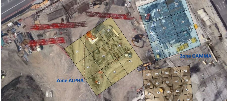
Cellmark’s Spatial Analysis and Mapping Service (SAMS) provides investigation teams with detailed analyses of landscapes, urban and rural environments, and buildings. This includes understanding the character and appearance of areas of interest at significant dates, changes that have occurred since those dates, and the provision of mapping and clear illustrations to visualise these results. We can also assist with the definition of priority areas in searches for people who are missing presumed murdered, which can be followed by specialist examination using instruments carried by UAVs (drones). SAMS utilises a vast range of techniques and technological solutions to better understand areas of interest, and the activities of people within those areas, and this presentation will discuss:
- Reconstructing landscapes and buildings at the time of an incident
– This can include incidents that occurred many decades ago, or only days or weeks previously
- Charting changes to the landscape over a selected period, such as between the date of an incident and the present day
- Populating landscape reconstructions with the positions of people, vehicles, and items of interest (such as weapons)
- Creation of mapping to provide clear visualisations of the results of landscape and spatial analysis Prioritisation of search areas
– Integrated analysis of a wide range of spatial data to define prioritised search areas based on the available data and information
- Use of UAVs (drones) to capture a wide range of specialist remote sensing data
– This includes LiDAR, multispectral imagery, and digital 3D data
- Analysis of remote sensing (drone) data to undertake searches of areas of interest for buried human remains
- Disaster Victim Identification (DVI) – mapping distribution and spatial context
Please note this course is only open to Police and professionals working within the Criminal Justice System.
Contact Information
For general information on training or to book a place on one of our courses please contact Cellmark’s Training Services Manager Karen Calleja Schembri:
Email: training@cellmark.co.uk
Phone: 01235 552372